Walk Smarter Along Cornwall's Wild Coast

Set your stride by the sea’s heartbeat. This guide explores using tide tables and navigation apps for Cornwall’s coastal walks, showing how timing and digital maps work together to unlock safe beach traverses, hidden coves, and confident cliff paths. Learn practical routines, real stories, and expert tips that keep your feet dry, your route clear, and your day unforgettably alive with salt air, granite light, and purposeful adventure.

Reading the Ocean's Daily Rhythm

Understanding tide tables for Cornwall transforms guesswork into confident movement. With the right timing, sands become highways, causeways appear, and risky pinch points are peacefully avoided. We break down how to read local data, match it to your planned sections, and use it alongside lived observations—surf noise, wrack lines, and the steady pull of the moon translated into practical footsteps along iconic headlands and wide Atlantic beaches.

Make Sense of Local Tables

Start with primary ports like Newlyn, then apply adjustments for nearby beaches such as St Ives, Perranporth, and Porthcurno. Note daylight saving, time zones, and height predictions, not just times. Cross-check two sources, and mark your earliest and latest safe windows for walking exposed sands or rounding rocky points.

Spring, Neap, and the Space You’ll Have

Spring tides bring dramatic highs and lows, greatly expanding or shrinking the space beneath cliffs and around headlands. Neaps create gentler ranges yet still demand caution. Consider swell, storm surge, and river outflow in estuaries, where apparent slack water can disguise powerful movement and quickly narrowing options.

Timing Critical Crossings

Plan crossings such as St Michael's Mount causeway or rounding tight points near Chapel Porth by anchoring your schedule to low water and the rebound toward flood. Allow generous buffers, identify high routes if windows close, and avoid temptation to race the turning tide across slippery boulder fields.

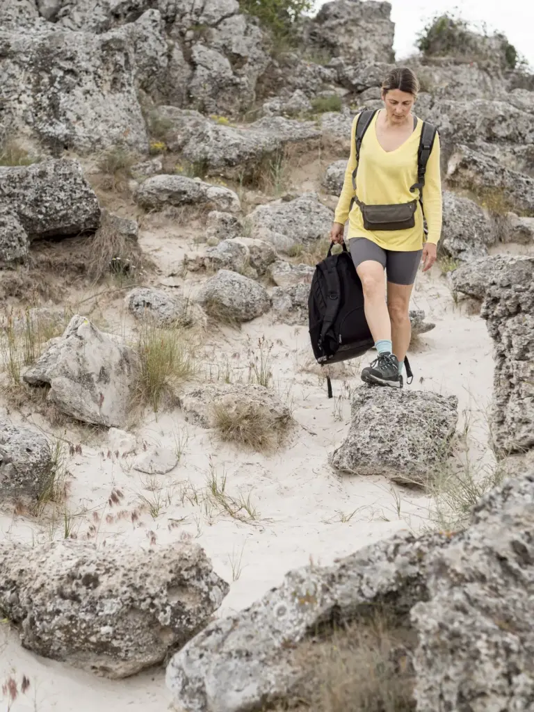
Digital Wayfinding on Rugged Paths

Phones are brilliant companions when paired with judgment. Learn how OS Maps, Outdooractive, Komoot, AllTrails, or Gaia GPS reveal rights of way, contour lines, and tricky zigzags along the South West Coast Path. We cover GPX planning, offline tiles, waypoint notes, and settings that keep accuracy high while preserving precious battery through long, wind-sculpted days.

Choose the Right Toolkit

Select an app that displays Ordnance Survey Explorer detail, reliable elevation profiles, and seawall or beach variants common in Cornwall. Test route creation at home, compare community reviews with official mapping, and confirm tide-aware notes are pinned where decisions matter, like headland shortcuts or estuary alternatives.

Go Offline Before You Go Outside

Mobile signal can vanish between granite cliffs and deep coves. Download offline map areas at multiple zoom levels, store your GPX tracks, and pre-cache satellite imagery for landmarks. Practice airplane mode navigation so you conserve power while keeping precise positioning and readable detail even in sea mist.

Interpret Forecasts with Footsteps in Mind

Read the Met Office inshore waters forecast and surf reports together with your tide table, translating numbers into ground truth. Two metres of swell on a spring flood can turn modest sections treacherous, while offshore winds may calm surf yet blast exposed headlands with relentless gusts.

Path Etiquette and Seasonal Sensitivity

Respect temporary diversions around cliff erosion, nesting birds, or seal haul-outs. Keep dogs leashed near livestock and precipices. Step lightly through bluebells and thrift, pause for passing walkers on narrow sections, and accept that protecting fragile edges sometimes means taking longer, safer inland detours despite blue-sky temptation.

Prepare for Emergencies You’ll Avoid by Planning

Share your route and cut-off times with a friend, carry whistle and headtorch, and store critical numbers. When things go wrong, call 999 and ask for the Coastguard, using clear coordinates, OS grid references, or what3words. Good preparation turns small problems into stories rather than rescues.

Stories Carved in Salt and Sun

Experience teaches what maps and tables only hint at. Here you’ll meet quick vignettes from Cornwall’s coast that show how timely checks and smart navigation transform uncertainty into flow. Let these moments anchor your own rituals before leaving the car park and stepping toward roaring water and gleaming granite.

Build a Tide-Savvy Itinerary

Plan days that breathe with the Atlantic. Pair low-water explorations with clifftop alternatives for the flood, match lunch stops to sheltered coves, and use ferries or buses to link sections. Anchoring decisions to the chart and sky frees energy for noticing skylarks, basking seals, and storied engine houses.

Nature, History, and Caring Footsteps

Walking here is also stewardship. Tide-aware choices protect seals, seabirds, and delicate plants while guiding you safely around mine workings, lighthouses, and prehistoric remnants. Blend curiosity with care, using apps to spot protected zones, and giving the ocean respectful space as it breathes, roars, and quietly retreats again.

Wildlife Windows, Not Deadlines

Observe seal pups from distance with cliffs between you and the shore, choosing higher paths when low water exposes nurseries. Avoid sea caves during the flood, listen for chough calls above, and time rock-pooling for slack water, returning treasures to their micro-worlds exactly where you found them.

Heritage Under Open Skies

Tin mine engine houses at Botallack or Geevor glow at sunset. Use precise mapping to approach viewpoints without straying near unfenced shafts, respect fences, and give way on narrow terraces. Tide timing helps you frame photographs with wet sand reflections and safe, unhurried access.

Access for Every Explorer

Seek step-free viewpoints, shorter loop options, and bus links that reduce strain while preserving coastal drama. Many apps offer large fonts, voice prompts, and high-contrast maps. Plan windows that avoid slippery boulders, aligning rests with cafés or shelters so energy and confidence stay bright all day.
Savipexilentozorizavokaronovi
Privacy Overview

This website uses cookies so that we can provide you with the best user experience possible. Cookie information is stored in your browser and performs functions such as recognising you when you return to our website and helping our team to understand which sections of the website you find most interesting and useful.